Lower Whitewater Falls
Salem, South Carolina, USA
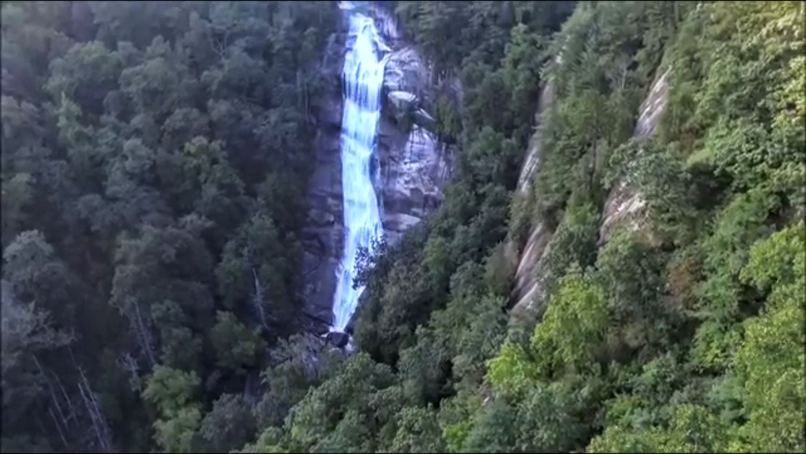
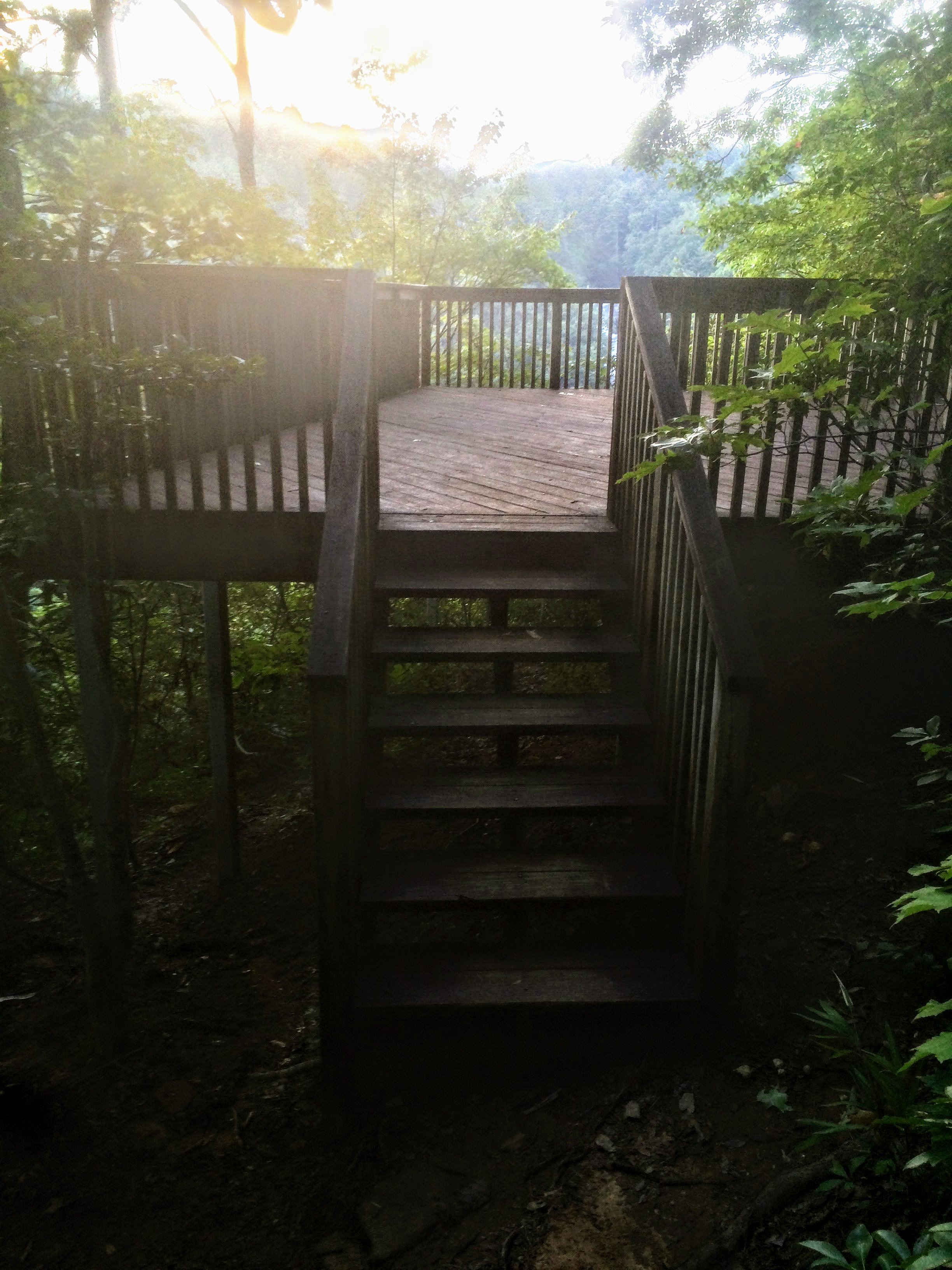
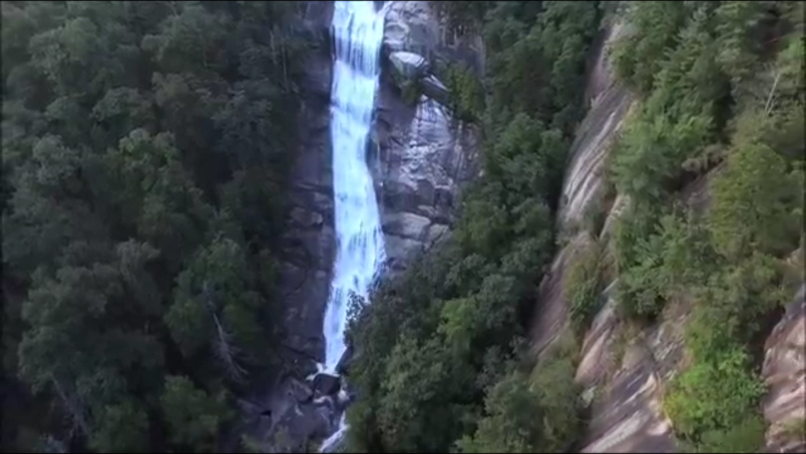
At first we wondered if Lower Whitewater Falls would be worth the visit since the viewing platform offers quite a distant view of the falls, but we had another option in play at the time...our drone.
The falls plunge down the Whitewater River as it careens it way down the gorge and into beautiful Lake Jocassee.
Fast Facts about Lower Whitewater Falls:
Height: 200-250 feet (main drop)
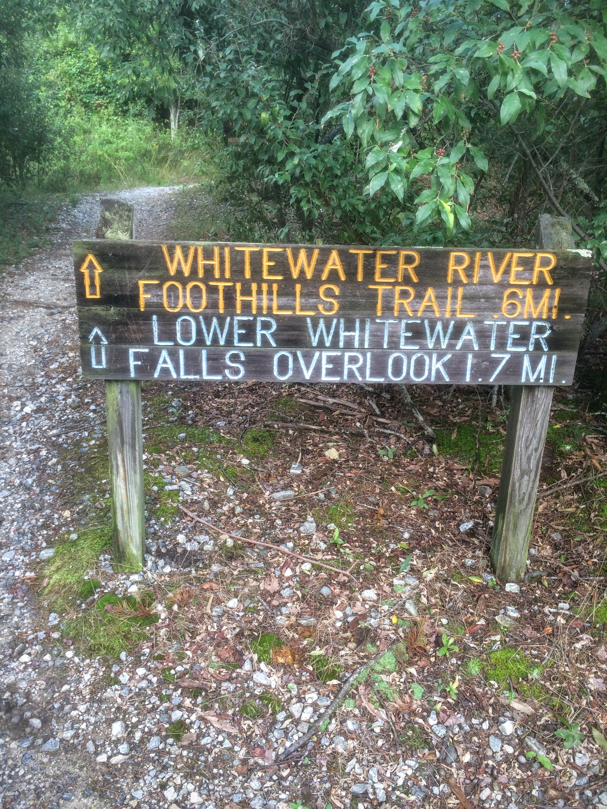
Hike Distance: 4.2 miles (mileage on trailhead sign is incorrect)
Type: Horsetail
Drone Video: Click here
Photos: Click here
Location: Salem, South Carolina in Oconee County
Local Weather: Salem, SC
Dog Friendly: YES
Cell Service: Could be spotty depending on carrier
Nearest Emergency Room: 37 minutes away between Cashiers and Highlands, NC
Food Nearby: Pack a lunch or eat at an area restaurant
Drone Fly Over
Check out this video Frankie and I put together of our drone flyover of the lower falls...and don't forget to subscribe to our YouTube channel.
The Hike
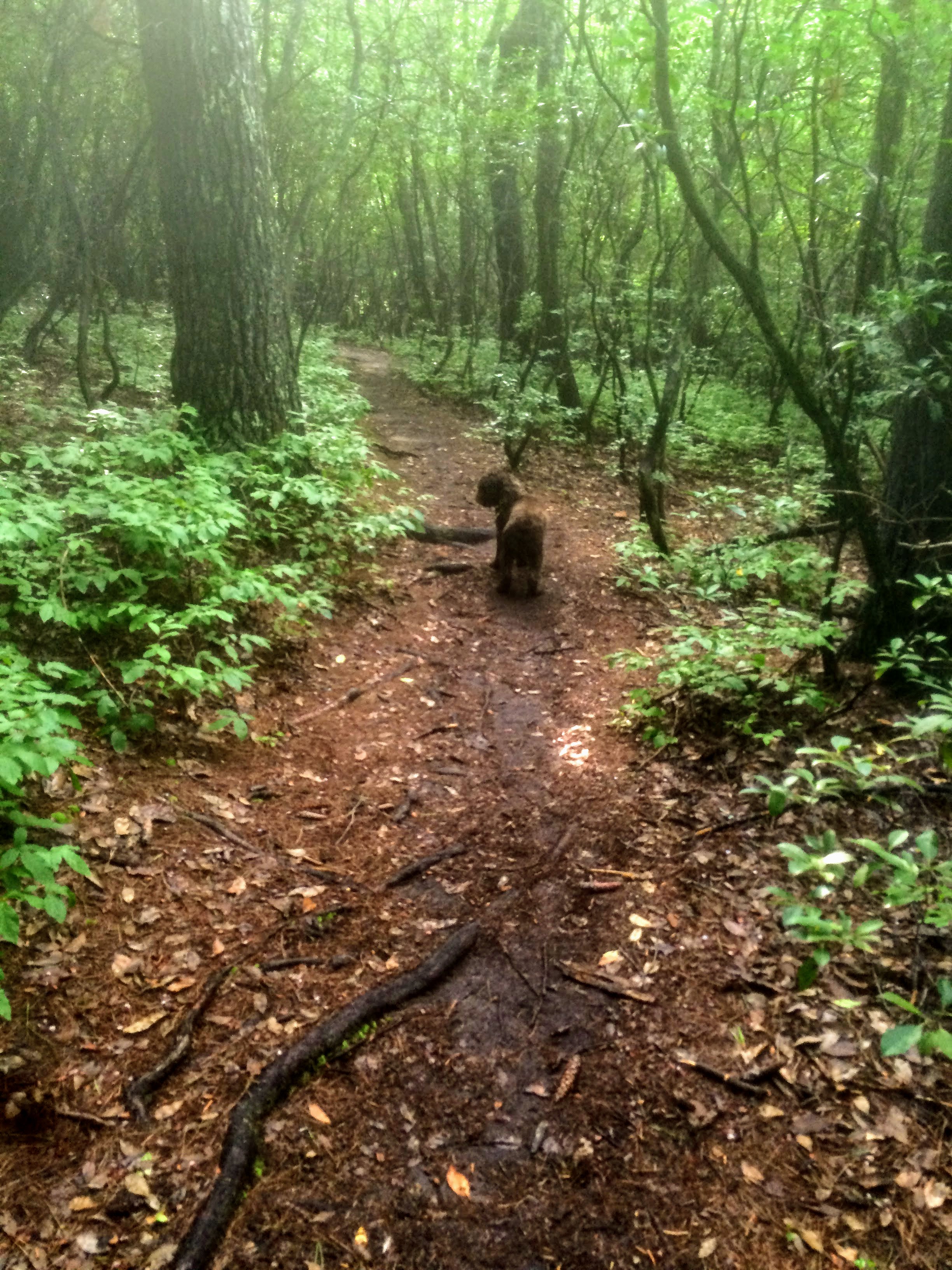
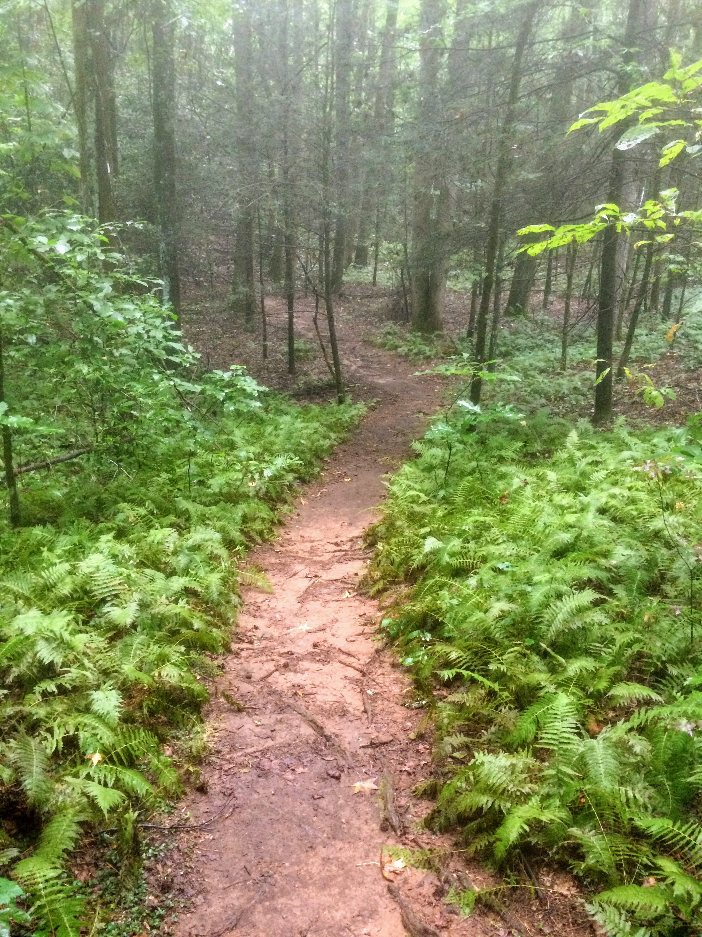
The hike to the Lower Whitewater Falls is not particularly difficult and is a pleasant 2 mile hike. We prefer to hike in cooler temps, so at the time we went, it worked out to be a late afternoon (almost evening) hike. Somehow, we often seem to be racing daylight on a lot of our waterfall chasing adventures, so we have learned to carry headlamps in our backpacks at all times.
!! PRO TIP !! - Always do an equipment check before you set out on every single hike. We once found ourselves mildly lost on a trail in the pitch dark of the Great Smokey Mountains National Park, in the heart of bear country, with only one properly working headlamp between us.
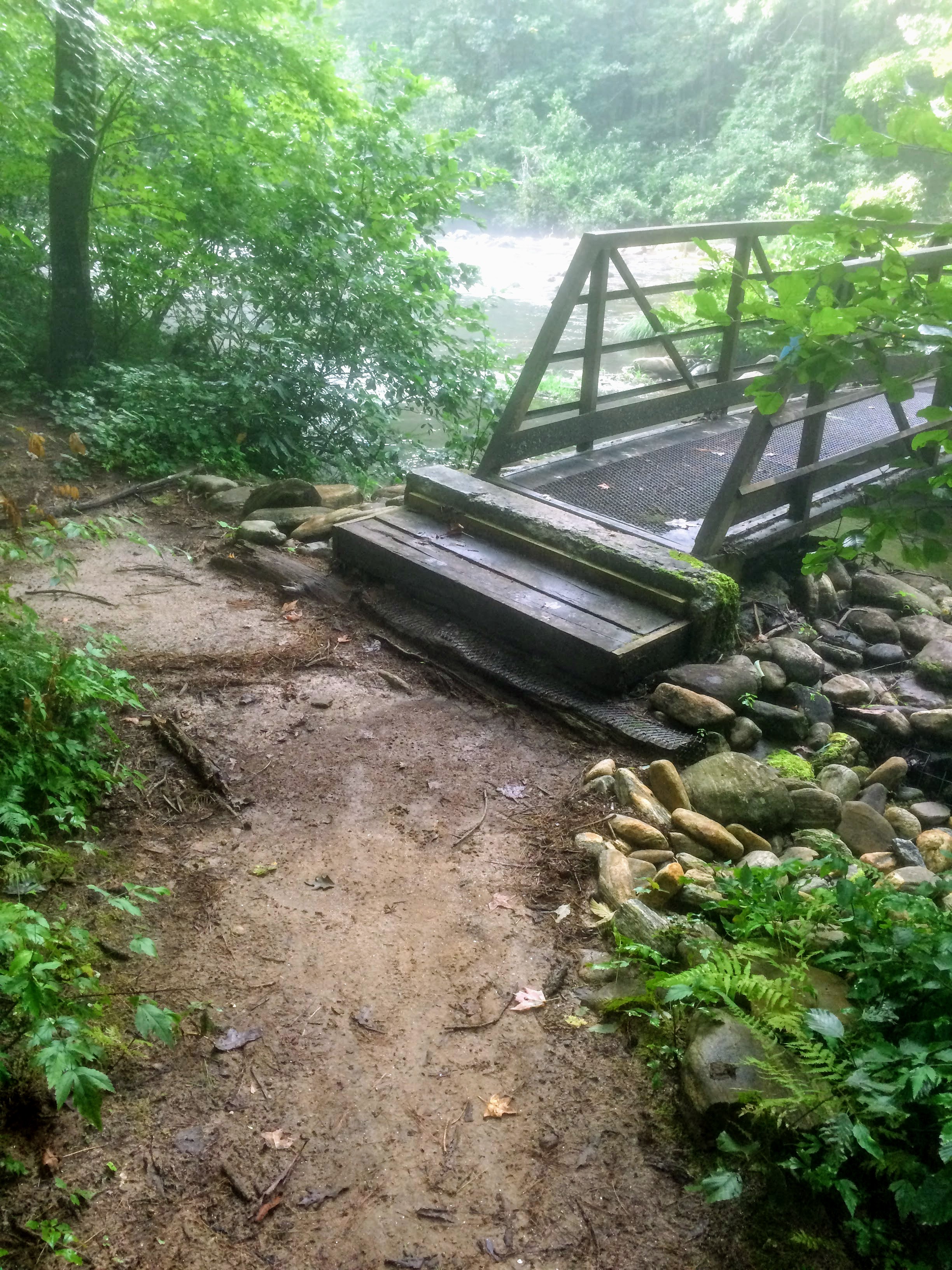
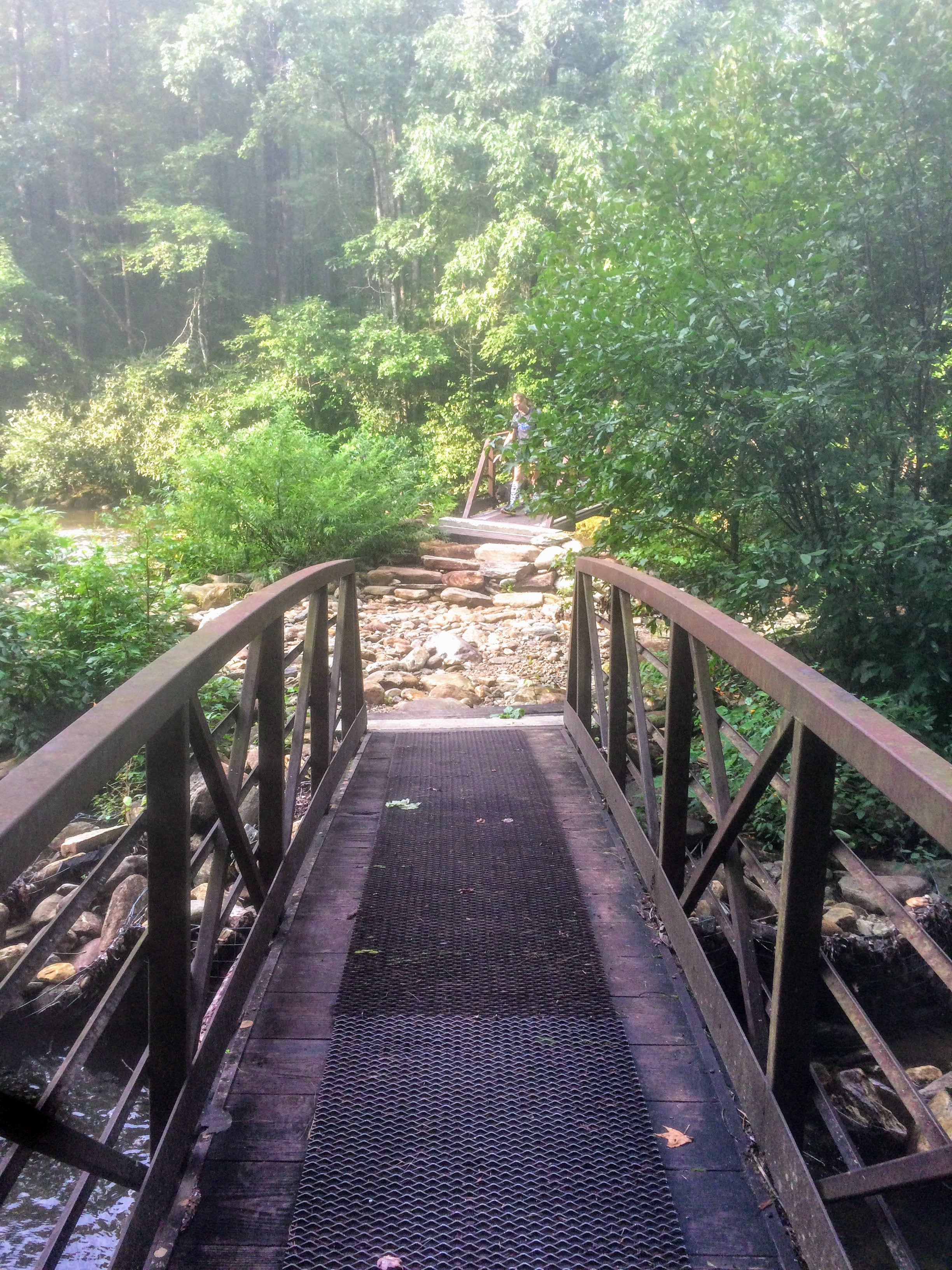
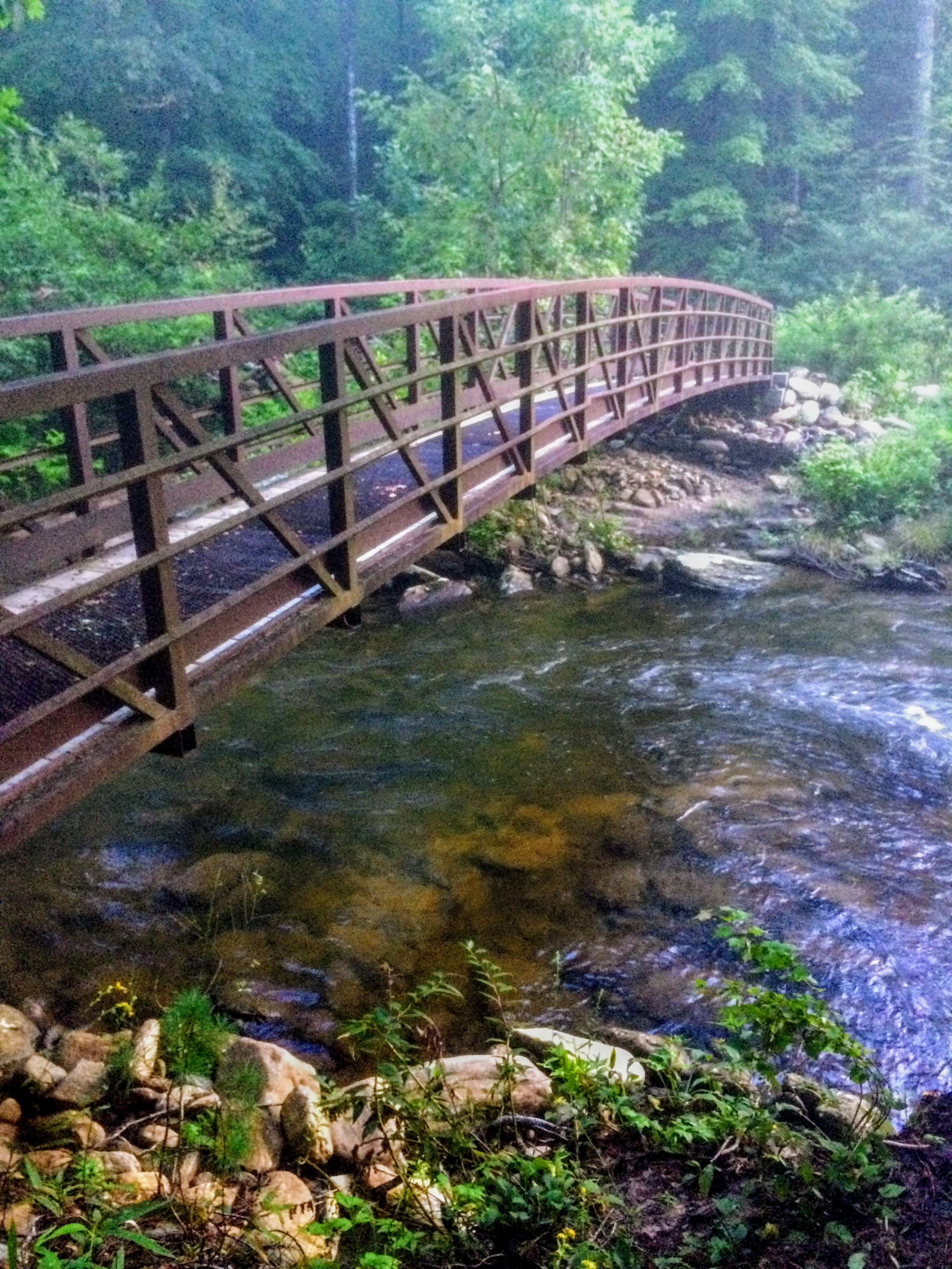
The trail is marked very well, even at the intersection across the river bridges which branches out multiple directions.
There are plenty of photo ops along the path to the falls with beautiful rocky stream crossings, nice bridges, and even memorial markers for those who had a hand in preserving the area.
The falls are pretty spectacular, but as already mentioned, the viewing platform is a good distance from the falls, so we have a couple of recommendations to enhance your waterfall viewing experience.
- Take along a real camera with a zoom lens in order to properly photograph the falls.
- Use of a drone could definitely enhance your ability to see the falls close up. Just be careful of hazards such as trees over the river. Drone controls can be a bit precarious at times.
- Take along a good pair of binoculars if you have them.
These tips should help you to be sure not to regret this great South Carolina waterfall hike.
Waterfall Photos - Lower Whitewater Falls
Obviously I was having camera issues that day with both my cell phone and the drone, but hopefully these pics, rough as they are, will inspire you to travel to the trail and see it all for yourself.
Click on any image to enlarge and scroll through the gallery...
Find Lower Whitewater Falls
Whenever possible, we like to provide directions to the waterfalls we recommend. Some of them, we definitely had to find the hard way, so we want to ease the pain of research a bit for our readers.
We actually will probably catch a good bit of flack by doing this, because many times new people finding waterfalls contribute to the demise of these natural areas by failing to follow "leave no trace" principles (basically trashing the area).
So, please, please, please...leave natural areas the way you find them OR BETTER. How can you leave them better? You could carry an extra trash bag or even a small plastic bag and pick up a little trash others may have left behind, thereby improving the area.
Click here for directions to Lower Whitewater Falls trailhead or use the map below:
- Homepage
- South Carolina Waterfalls
- Lower Whitewater Falls
Recent Articles
-
Breathtaking Burgess Falls
Oct 15, 23 02:07 PM
Explore Burgess Falls, a hidden gem among Tennessee waterfalls. Inviting trails, lush landscapes, and cascades create an unforgettable adventure. -
Bridal Veil Falls NC
Oct 03, 23 02:14 AM
Discover the beauty of Bridal Veil Falls NC in Dupont State Forest. Plan an exhilarating hike among North Carolina waterfalls and create lasting memories! -
Bodacious Bald River Falls
Jan 19, 22 02:09 PM
Bald River Falls is one of the most beautiful waterfalls in Tennessee. See why it's so easily accessible!
